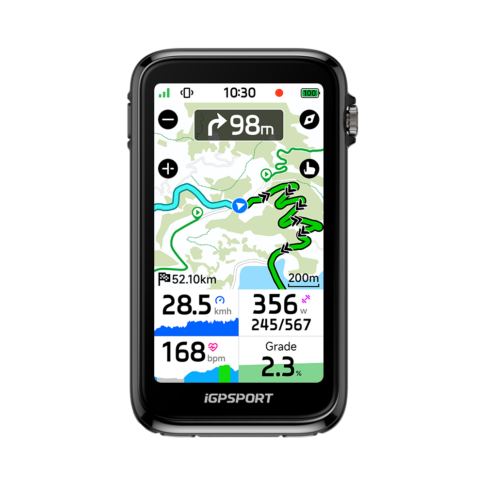
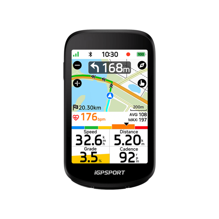
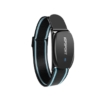
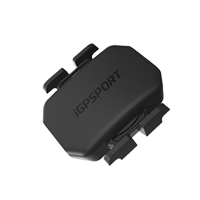
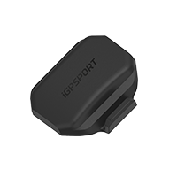
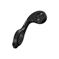





BiNavi Air
Service & Benefits
Free Shipping on Most Orders
Enjoy free shipping on most eligible orders at iGPSPORT. Shipping fees may apply to certain destinations or orders that do not meet the free shipping requirements. Any applicable shipping costs will be displayed at checkout. Learn More ›
Ships Within 24 Hours
We aim to ship your order within 24 hours on business days, so you can get your cycling gear sooner. Learn More ›
Delivery in 2–5 Days
Your order is typically delivered within 2–5 days after shipping. Actual delivery times may vary depending on your location and local carrier conditions. Learn More ›
15-Day Return Policy
Shop with confidence at iGPSPORT. Not completely satisfied with your purchase? You can request a return within 15 days of delivery. Items must be unused, unactivated, and in their original condition, with all packaging and accessories included. Return shipping fees may apply. Learn More ›
Easy Returns
Simply request a return through your customer account or contact us at support@igpsport.com. We'll review your request within 2 business days and provide return instructions once approved. Learn More ›
Refund Processing
Once approved, refunds are issued to your original payment method, typically within 7–14 business days, depending on your bank or payment provider. Learn More ›
Frequently bought together


 SR mini
×1
79,90€
 VS1800S
×1
79,90€
 VeRun
×1
219,90€


iGPSPORT BiNavi Air
Light on the Ride
Your Ride, Clearly Connected


Global Maps, Ready to Explore
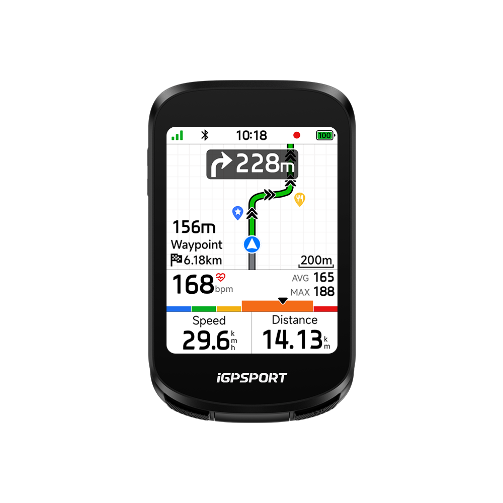
A GPS bike computer with maps, zoom, north-up and automatic zoom. Customize road names, saved locations, POIs and DEM terrain. Description Description Description Description


New Route After a Wrong Turn
Off-Course Rerouting 2.0 replans offline when you take a wrong turn on unfamiliar roads or longer rides.


See, Hear and Signal Each Turn
Pop-ups, map zoom, flashes. Phone voice uses a live iGPSPORT App link; no built-in voice. Paired iGPSPORT smart lights flash both sides to alert you and others.


One Tap from Map to Navigation
Tap a map destination, send it to your device and start navigating.


Create Routes or Import Favorites
Build routes in the app; import Strava, Komoot or Ride with GPS. Link Strava/Komoot for auto ride-data sync. Use location navigation or one-tap route starts.


iClimb 3.0: Climb Grades and Maps
Multi-vent sensing steadies altitude in wind/rain. Grand Tour grades detect climb starts/ends precisely; map/climb views preview climbs to pace effort.


Make Indoor Rides Your Own
A bike computer for indoor training with smart-trainer race and virtual modes. Sync ride data to TrainingPeaks for analysis and send workouts to the device.


Riding Modes and Navigation Widgets
Choose data for 3 built-in or custom modes. Arrange map, turn and data widgets so turns leave maps clear. Heart-rate/grade graphs ease eye strain and decisions.
77g design. A clear view. 30+ hours.
Less Weight, More Ride


A small bicycle computer with a 77g aerodynamic design keeps your setup light, with a streamlined profile designed to reduce wind resistance.
The 3-inch color touchscreen stays clear in direct sunlight. Automatic brightness adapts the display to changing light, day or night.
Ride longer with 30+ hours of battery life, power-saving mode for extra time and fast charging to get ready for your next long ride.
Navigation Beyond Familiar Roads
Global maps. More ways to find your route.


Dual-Band GNSS for Accurate Ride Tracks
L1+L5 dual-band GNSS provides precise, stable positioning and records your route as you ride. BiNavi Air supports satellite positioning, with no dead reckoning navigation.


Global Maps, Set Up Your Way
Built-in global maps let you zoom in and out, use north-up orientation and automatic zoom, and customize map layers for road names, saved locations, points of interest and DEM terrain.


Plan Online or Head Out Offline
Plan your navigation online or offline with BiNavi Air. Explore unfamiliar areas, prepare a longer route or head out for an adventure with the route guidance you need along the way.


Turn Alerts
Turn-by-Turn Navigation, Clearly Signaled
Turn-by-turn navigation brings pop-up alerts, map zoom and screen flashes. Phone voice prompts require an ongoing iGPSPORT App connection; BiNavi Air has no built-in voice. Compatible iGPSPORT smart lights flash on both sides to alert you and others.


Return and Retrace
More Ways to Find Your Way Back
Navigate to saved locations or follow a recorded ride. Route to Start and Retrace Routes help you return, while back-on-track guidance helps you rejoin your planned route.


Create and Sync Routes
Build a Route, Then Make It a Ride
Create routes in the iGPSPORT App or sync routes from Komoot and other supported services. Send a planned ride to BiNavi Air for everyday city journeys or your next outdoor adventure.
Know the Climb Before It Counts
iClimb 3.0. Plan your effort ahead.


Hidden multi-vent altimeter sensing and in-house iClimb 3.0 grade algorithms stabilize elevation readings in wind, rain and changing weather.
Grand Tour climb grades use live gradient colors, with red for steep slopes, to show current and upcoming climbing intensity at a glance.
Preview climbs on courses, ride history and return routes. Faster parsing handles hairpins, loops, out-and-back sections and repeated roads.
Bring Your Routes into Training


Smart Trainer Required
Ride Real Routes, Even When You Stay In
Simulate real outdoor routes and changing terrain indoors with a connected smart trainer. Ride routes from around the world whatever the weather, with climb previews whenever the simulated route includes an ascent.


Race Yourself
Turn a Past Ride into Your Next Challenge
Choose a previous ride as your challenge and compare your progress and performance in real time. Race against your own record, work toward a new personal best and keep your next training goal in sight.


Create Interval Workouts
Build Intervals Around Your Training Goals
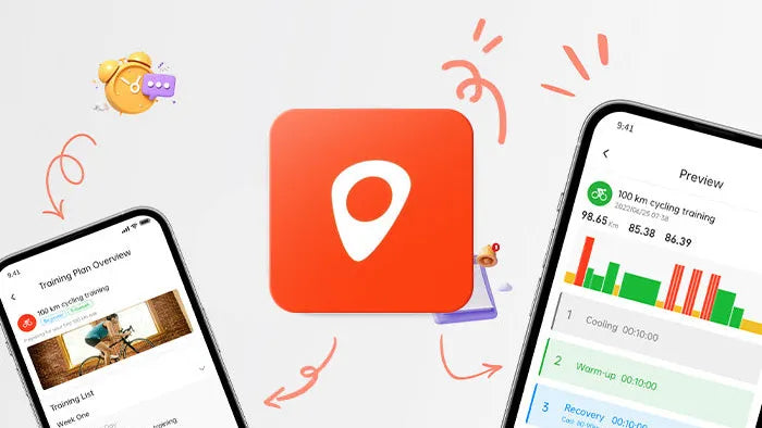
Create training plans and workouts in the iGPSPORT App and send them to BiNavi Air. Create interval workouts on the device, set target power, trainer grade or resistance level, and let a connected smart trainer adjust resistance automatically.
Connect the Tools You Ride With
Sensors, app tools and controls in reach.


Connect Your Sensors and Devices
Connect speed, cadence, heart rate, power, smart trainers, Shimano Di2, E-Bikes, radar, iGPSPORT smart lights, action cameras, breathing, aerodynamic and posture sensors, CORE and electronic shifting. A bike computer with cadence support needs a compatible external sensor.


Bring Your Devices Together
iGPLink supports watch heart rate sharing with automatic heart rate sync, watch ride-status notifications, data transfer between bike computers and compatible light linking.


Keep Your Ride Data in One Place
The iGPSPORT App automatically syncs your ride data, presents clear visual analysis and manages routes and training. Cloud connectivity keeps your riding information connected beyond the device.


Fewer Taps, More Time on the Ride
Control music, view synced weather, operate a compatible action camera and use Shimano Di2 controls from your connected setup. Keep everyday adjustments close at hand while you ride.
Compatible action cameras for video recording and photo control: DJI Action 4 / Action 5 Pro; Insta360 X4 Air / X5 / X6.
Connections that fit your riding routine.
Make Your Ride Work Together


Connect Strava, Komoot, TrainingPeaks and Intervals for ride sharing, route transfers and training sync, with data to inform your training.
Let friends and family follow your riding location through the Live Track portal, helping them stay connected while you are out on your route.
Share your real-time location with your riding buddies and share routes with just one tap — for smooth group rides.
※ Connect to the latest version of the iGPSPORT App and sync the group ride to your bike computer to use this feature.
Connect a compatible iGPSPORT radar taillight to detect vehicles approaching from behind and stay more aware of traffic during your ride.
View incoming calls, text messages and social media notifications on BiNavi Air, so you can check the updates that matter during your ride.
You might also like
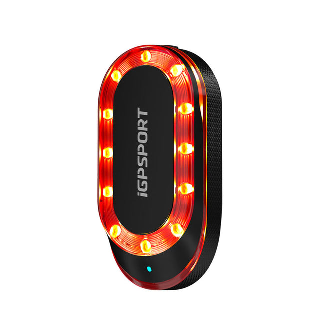
SR mini
【8 Targets at Most】- The radar can monitor up to 8 targets simultaneously. The side of ...

HR80
Lightweight Comfort. Instant Start. Built for Every Workout. [Ultralight 19g Design] — ...

VS1800S
【Guarding Your Night Riding】 - The 1800 lumen bicycle headlight uses the professional T...

Specs & Comparison
Compare
What's in the Box
Device Only
- BiNavi Air Bike Navigator ×1
- Tempered Film ×1
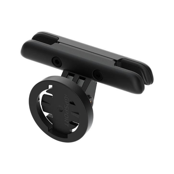
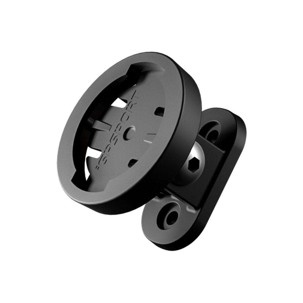
- Standard Bike Mount ×1
- USB-C Charging Cable ×1
- Tether ×1
- Quick Start Manual ×1
Bundle
- BiNavi Air+ M80 Mount
- BiNavi Air + M80 Mount + CAD70 Cadence Sensor
- BiNavi Air + M80 Mount + HR50 Heart Rate Monitor
- BiNavi Air + M80 Mount + HR70 Heart Rate Monitor
- BiNavi Air + M80 Mount + HR50 Heart Rate Monitor + CAD70 Cadence Sensor
- BiNavi Air + M80 Mount + CAD70 Cadence Sensor + SPD70 Speed Sensor
- BiNavi Air + M80 Mount + CAD70 Cadence Sensor + SPD70 Speed Sensor + HR50 Heart Rate Monitor
- BiNavi Air + M80 Mount + SR mini Radar Taillight
- BiNavi Air + M80 Mount + VS1800S Headlight
- BiNavi Air + M80 Mount + TL50 Taillight
FAQs
What are the ways to create a route?
Roadbooks can be created in four ways: riding activities, APP, official webpage, and third-party APP import.
- Riding Activities:
Open any activity in iGPSPORT APP, click the icon in the upper right corner, and select Save as My Roadbook to complete.
- APP:
1. Open iGPSPORT APP>My>My Roadbook;
2. Click the "+" in the lower right corner to select Amap to create a road book;
3. Enter the name of the starting point in the search bar above to confirm and enter the map, click to set it as the starting point;
4. Enter the name of the destination in the search bar again to confirm and enter the map, click to set it as the destination;
5. The APP pops up the planning route of the roadbook. After confirming that it is correct, click Save > Confirm. The APP will then complete the roadbook creation.
- Official webpage:
Open the official website https://www.igpsport.com to log in, click Roadbook > Create Roadbook to enter the map page.
1. Select the starting point on the map and click the left button of the mouse to confirm the starting point;
2. Select the end point on the map and click the left button of the mouse to confirm the end point;
3. If you need to add a waypoint, you can select a location on the map and click the left button of the mouse to confirm. If you need to delete this waypoint, place the cursor at the waypoint and double-click to delete the waypoint when a cross mark appear.
4. When you are satisfied with the created road book, click [Save] on the page. Enter the title and description of the roadbook, select the type of roadbook, and click [Upload Roadbook] to complete the creation.
5. After saving successfully, you can see this roadbook, or you can find it in the [My Roadbook] list.
- Third-party APP import:
Open iGPSPORT APP>My>My Roadbook, click the "+" in the lower right corner to choose to import the third-party roadbook. If Strava or komoot is authorized successfully, you can synchronize the roadbook produced by Strava or komoot into My Road Book in iGPSPORT APP.
How to use navigation audio function?
1. Ensure the bike computer is successfully connected to the iGPSPORT app and that the connection remains active.
2. Once the bike computer starts the route navigation, the phone will provide navigation voice turn-by-turn instructions via the communication between the bike computer and the app.
Note:
1)The voice will announce a left/right turn 200 meters ahead, and announce the left/right turn again within 50 meters.
2)To select or turn off the voice navigation, go to iGPSPORT app → My → Settings → Voice Navigation.
How to use iClimb?
1. Go to More ~ Ride Mode, and enter the already enabled ride mode;
2. tap on iClimb to enable it;
3. During map navigation, when the climbing plan conditions are met, the iClimb page will automatically pop up;
Climbing Plan Conditions: Enter a route where the grade is greater than 3% and the length is greater than 500m;
Note: The BiNavi Air will give a prompt within the first 100m when entering the iClimb section.
How to use one-click navigation?
One-Tap Navigation requires the bike computer to be connected to the iGPSPORT app. Use the app to create a location point, save it, and send it to the bike computer to start navigation.
1. After connecting the bike computer to the app, open the device page > Device Function > One-Click Navigation.
2. In the search box, enter the destination you want to reach, then tap the search button on the phone's keyboard.
3. Select the exact location of the destination below and tap "Confirm" to plan the route.
4. The app will automatically plan the route from the current location to the destination. After confirming the route is correct, tap "One-Click Navigation" to send the route to the bike computer and start navigation.
How to use continue later function?
After completing an activity, tap the confirm button in the upper right corner to enter the menu. Tap Continue Later and the bike computer will temporarily save the current activity. The next time the recording is started, it will prompt you to continue the previous activity before starting the recording.
Note:
1. If the starting point of the next recording is not the same as the end point of the previous activity, the track will form a straight line or a dashed line.
2. If the Continue Later feature is used continuously, it is not recommended to use it for long periods to avoid activity files becoming too large and failing to save.
What sensors can be connected to BiNavi Air?
Sensor that BiNavi Air supports: Heart rate monitor, cadence sensor, speed sensor, power meter, speed and cadence sensor, trainer, shifter, DI2, radar, light, E-Bike.
How to sync data from BiNavi Air to Strava/Training Peaks?
Go to app>My>Link Other Apps and bind Strava/Training Peaks account to iGPSPORT app. A green √ mark will be displayed after successful binding.
After BiNavi Air connects to iGPSPORT app, it will upload new data to the app. After the data is uploaded to iGPSPORT app, it will automatically synchronize the data to Strava/Training Peaks.
If Strava/Training Peaks and iGPSPORT app are successfully bound and the data is not synchronized, please rebind it first and wait for 30 minutes. If the data is still not synchronized to Strava/Training Peaks, please contact after-sales customer service (service@igpsport.com )
